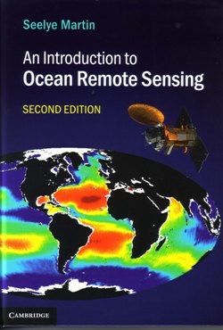
 This book is well-written, printed and bound, containing many diagrams and colour photographs. It explains how remote sensing works; particularly remote sensing of biogeochemical properties, infrared and microwave retrieval of sea surface temperature and salinity etc., passive microwave measurements, scatterometer wind retrieval, altimetry and SAR. The book tells how to understand observations from Earth-observing systems, and the observations’ importance to physical and biological oceanography. The author presents all the necessary mathematics to support and understand the text.
The book contains a useful list of abbreviations, acronyms, mathematical symbols, references and an appendix giving technical details. Also included are descriptions of the online archives where data can be obtained (e.g. NASA and ICES) and online tools for working with the data.
It is suitable for graduate and advanced undergraduate students in oceanography, remote sensing and environmental science, and a practical resource for researchers and professionals.
The author begins by talking of the oceans and how important they are, covering about 70% of the Earth’s surface and containing most of the Earth’s water. They are dynamic at several scales and contain important and productive ecosystems. They play a big role in climate change and are important for heat storage and transfer.
The book considers the emitted and reflected radiation from the open ocean and how the ocean properties modify them at the surface. Satellite images (e.g. radar) can be used to detect such things as oil slicks.
The book relates how the atmosphere and its constituents (e.g. oxygen, nitrogen and especially water vapour) affect the transmission of radiation in the visible infrared and microwave regions of Earth observation.
Passive multi frequency microwave imagers are very useful for sea surface temperatures and salinity, sea ice extent, scalar and vector wind speeds. Ocean winds are important for the way they drive ocean currents, transfer heat, gases, heat and moisture, energy and momentum. They can be examined in detail using a scatterometer, which are of great importance in weather forecasting.
The Radar altimeter can provide much information about global variation in sea surface height, swell and wind speeds (all very useful measurements in oceanography). Side-looking radars are also discussed (powerful tools to examine ice and ocean surface backscatter properties at a high resolution).
This is a comprehensive textbook, well worth its rather modest cover price.
Reviewed by Steve Rowlatt, Bishop’s Stortford.
AN INTRODUCTION TO OCEAN REMOTE SENSING BY Seelye Martin. Published by: Cambridge University Press Publication date 2014 Hardback ISBN 978-1-107-01938-6 Edition: 2 521pp List Price £45 www.cambridge.org