Independent Mapping Projects

Choosing a mapping area
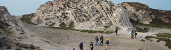
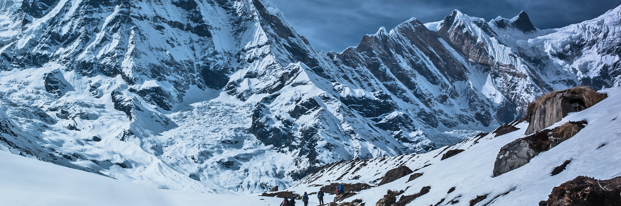
Universities will usually have a selection of areas that members of staff know well, in which mapping groups can undertake their projects (often 2 or 3 groups per area). Groups often choose an area reflecting the branch of Geology they are most interested in, which could be near home or an area visited on a previous field trip (the UK features some of the most diverse geology in the world). Nevertheless, students are free to select an area anywhere in the world, as long as a member of staff agrees to act as their supervisor.
Universities often have close contacts in other universities around the world who may agree to supervise. It’s always worth asking if you’re set on going to the Australian Outback or the Canadian Rockies to map. However, since supervisors must usually visit the group during their project, travelling further afield than Europe involves more work, expense and planning than a ‘normal’ project.
The Project
The independent mapping project usually requires completion of the following work:
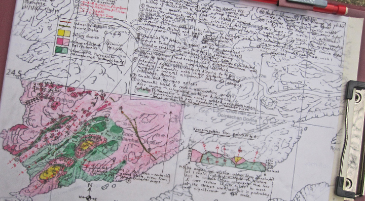
- A hand-drawn geological field map of the area
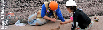
- Detailed field notebooks with all geological information, observations, interpretations, sketches and interpretive diagrams
- A digitised version of the field map on geographical information software or a drawing software package
- At least one geological cross-section that spans the entire area
- A stratigraphical column of all rock types observed
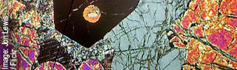
- Collection of rock samples, which may be studied in more detail later under the microscope
- A completed and successfully defended dissertation that summarises all the key findings and interpretations of the area.
 Advice for disabled students